| Item Detail |
| |
| |
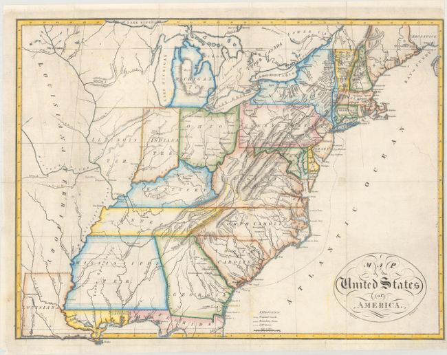
MapMaker: |
John Melish
|
|
| |
| |
Subject: |
Eastern United States |
|
| |
Period/Size: |
1812 / 13.1" x 17.2" (33.3 x 43.7 cm)
|
|
| |
Color: |
Colored
|
|
| |
Condition: |
(B+) Issued folding, now flat, with a few small fold separations and a 2" inch binding tear at right that have been repaired on verso with archival materials. There is faint offsetting, and the margin is trimmed close at right. (condition help) |
|
| |
Source: |
Travels in the United States of America |
|
| |
References: |
Ristow p. 179-80. |
|
| |
|
|
| Sales Information |
| |
| |
Price: |
|
|
| |
| |
Offered by: |
Old World Auctions |
|
| |
Catalog: |
Auction No. 166 - Antique Maps, Charts, Atlases & Globes (9434) |
|
| |
Lot/Item #: |
127 |
|
| |
| |
Date: |
02/2018
|
|
| |
| |
|