| Item Detail |
| |
| |
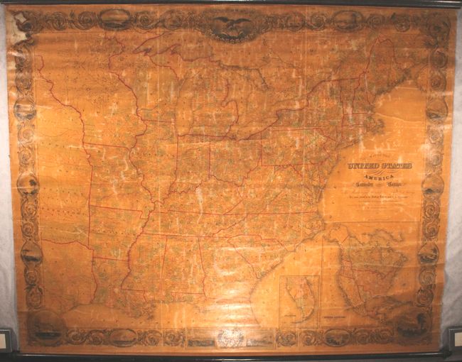
MapMaker: |
John Calvin Smith [& Son]
|
|
| |
| |
Subject: |
Eastern United States, Texas |
|
| |
Period/Size: |
1844 / 63.0" x 79.0" (160.1 x 200.7 cm)
|
|
| |
Color: |
Colored
|
|
| |
Condition: |
(B) The map is lightly toned due to the varnish, along with minor cracking and more widespread surface abrasions. There is a dampstain at top left that is confined to the decorative border. Given its large size, the map is in remarkably good condition a (condition help) |
|
| |
Source: |
|
|
| |
References: |
Phillips (Maps) p. 896; Wheat (TMW) #471 (inset); Ristow p. 318. |
|
| |
|
|
| Sales Information |
| |
| |
Price: |
|
|
| |
| |
Offered by: |
Old World Auctions |
|
| |
Catalog: |
Auction No. 166 - Antique Maps, Charts, Atlases & Globes (9434) |
|
| |
Lot/Item #: |
131 |
|
| |
| |
Date: |
02/2018
|
|
| |
| |
|