| Item Detail |
| |
| |
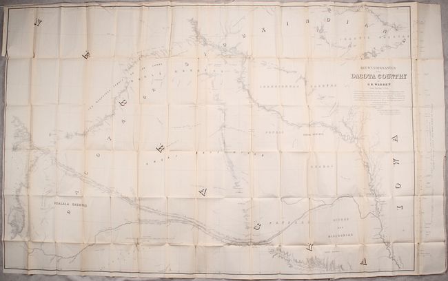
MapMaker: |
Gouverneur Kemble Warren
|
|
| |
| |
Subject: |
Exploration, Central United States |
|
| |
Period/Size: |
1856 / 10.2" x 6.3" (25.9 x 16.0 cm)
|
|
| |
Color: |
Black & White
|
|
| |
Condition: |
(B+) The large folding map is remarkably clean and bright with a number of splits at fold intersections and a hint of toning along the fold lines. The other two maps have light toning and a few faint spots. The medium-sized map also has a binding trim a (condition help) |
|
| |
Source: |
Sen. Ex. Doc. No. 76, 34th Congress, 1st Session |
|
| |
References: |
Howes #W118; Wagner-Camp #283; Wheat (TMW) #871. |
|
| |
|
|
| Sales Information |
| |
| |
Price: |
|
|
| |
| |
Offered by: |
Old World Auctions |
|
| |
Catalog: |
Auction No. 166 - Antique Maps, Charts, Atlases & Globes (9434) |
|
| |
Lot/Item #: |
167 |
|
| |
| |
Date: |
02/2018
|
|
| |
| |
|