| Item Detail |
| |
| |
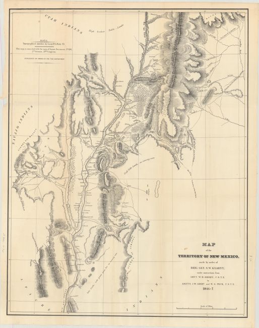
MapMaker: |
William Hemsley Emory
|
|
| |
| |
Subject: |
Exploration, Southwestern United States |
|
| |
Period/Size: |
1848 / 8.9" x 5.6" (22.6 x 14.3 cm)
|
|
| |
Color: |
Black & White
|
|
| |
Condition: |
(B+) The folding map of New Mexico is very good with pleasant light toning and a few small spots. The sketch map is clean, bright, and near fine. Disbound text and plates are very good to near fine with very occasional scattered foxing. A few of the pl (condition help) |
|
| |
Source: |
H.R. Ex. Doc. 41, 30th Congress, 1st Session |
|
| |
References: |
Wheat (TMW) #505 & 532; Wagner & Camp 148:5; Howes #E145. |
|
| |
|
|
| Sales Information |
| |
| |
Price: |
|
|
| |
| |
Offered by: |
Old World Auctions |
|
| |
Catalog: |
Auction No. 166 - Antique Maps, Charts, Atlases & Globes (9434) |
|
| |
Lot/Item #: |
188 |
|
| |
| |
Date: |
02/2018
|
|
| |
| |
|