| Item Detail |
| |
| |
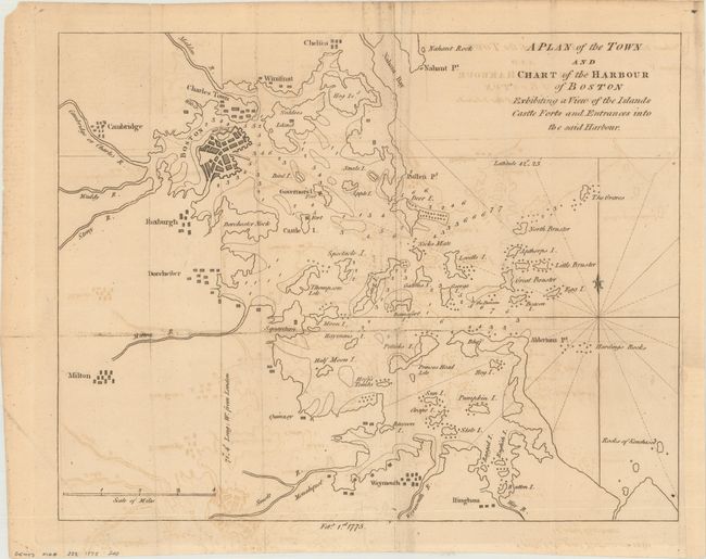
MapMaker: |
Anonymous
|
|
| |
| |
Subject: |
Boston, Massachusetts |
|
| |
Period/Size: |
1775 / 10.4" x 13.2" (26.5 x 33.6 cm)
|
|
| |
Color: |
Black & White
|
|
| |
Condition: |
(B) Issued folding and now flattened and backed with tissue to reinforce and repair several minor fold separations and one tiny hole in an unengraved area of the map. Light offsetting with a binding trim at lower right that has been replaced with old pap (condition help) |
|
| |
Source: |
Gentleman's Magazine |
|
| |
References: |
Jolly #GENT-232. |
|
| |
|
|
| Sales Information |
| |
| |
Price: |
|
|
| |
| |
Offered by: |
Old World Auctions |
|
| |
Catalog: |
Auction No. 166 - Antique Maps, Charts, Atlases & Globes (9434) |
|
| |
Lot/Item #: |
250 |
|
| |
| |
Date: |
02/2018
|
|
| |
| |
|