| Item Detail |
| |
| |
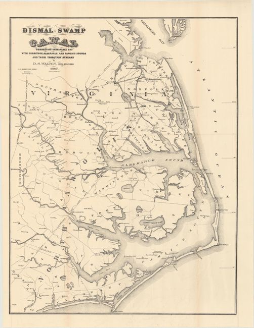
MapMaker: |
Robinson
|
|
| |
| |
Subject: |
North Carolina, Virginia |
|
| |
Period/Size: |
1867 / 21.1" x 16.3" (53.6 x 41.4 cm)
|
|
| |
Color: |
Black & White
|
|
| |
Condition: |
(B) On a bright sheet with a number of fold separations that have been mostly closed on verso with archival tape. There are a few tiny holes only visible when held to light. (condition help) |
|
| |
Source: |
|
|
| |
References: |
|
|
| |
|
|
| Sales Information |
| |
| |
Price: |
|
|
| |
| |
Offered by: |
Old World Auctions |
|
| |
Catalog: |
Auction No. 166 - Antique Maps, Charts, Atlases & Globes (9434) |
|
| |
Lot/Item #: |
270 |
|
| |
| |
Date: |
02/2018
|
|
| |
| |
|