| Item Detail |
| |
| |
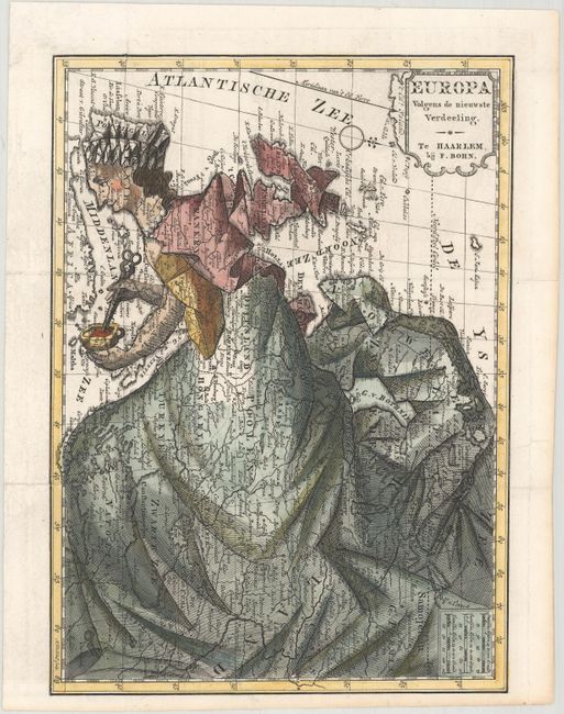
MapMaker: |
Francois Bohn
|
|
| |
| |
Subject: |
Europe |
|
| |
Period/Size: |
1794 / 9.3" x 6.7" (23.7 x 17.1 cm)
|
|
| |
Color: |
Colored
|
|
| |
Condition: |
(A) A crisp impression, issued folding and now flattened, with professional repairs to several short fold separations. There is a tiny tear in the blank margin that has been archivally repaired, and a binding trim at top that has been professionally repl (condition help) |
|
| |
Source: |
|
|
| |
References: |
Lewes (Mercator's World Vol. 4, No. 1) pp. 34-41. |
|
| |
|
|
| Sales Information |
| |
| |
Price: |
|
|
| |
| |
Offered by: |
Old World Auctions |
|
| |
Catalog: |
Auction No. 166 - Antique Maps, Charts, Atlases & Globes (9434) |
|
| |
Lot/Item #: |
392 |
|
| |
| |
Date: |
02/2018
|
|
| |
| |
|