| Item Detail |
| |
| |
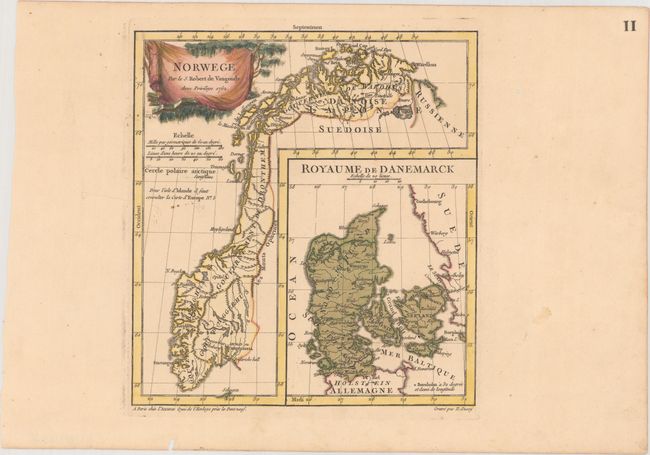
MapMaker: |
Didier Robert de Vaugondy
|
|
| |
| |
Subject: |
Norway & Denmark |
|
| |
Period/Size: |
1762 / 9.4" x 8.7" (23.9 x 22.1 cm)
|
|
| |
Color: |
Colored
|
|
| |
Condition: |
(A) A crisp impression with original color in the map and later color in the cartouche on paper with a Strasburg Lily watermark. There are two worm holes confined to the far blank margins. (condition help) |
|
| |
Source: |
Nouvel Atlas Portatif |
|
| |
References: |
Pedley #70. |
|
| |
|
|
| Sales Information |
| |
| |
Price: |
|
|
| |
| |
Offered by: |
Old World Auctions |
|
| |
Catalog: |
Auction No. 166 - Antique Maps, Charts, Atlases & Globes (9434) |
|
| |
Lot/Item #: |
439 |
|
| |
| |
Date: |
02/2018
|
|
| |
| |
|