| Item Detail |
| |
| |
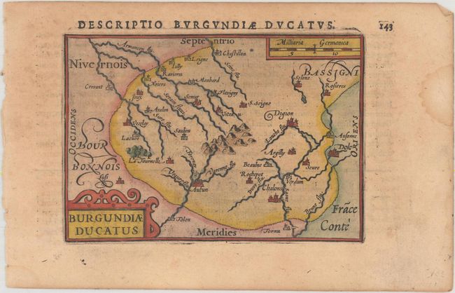
MapMaker: |
Bertius/Claesz
|
|
| |
| |
Subject: |
Eastern France |
|
| |
Period/Size: |
1606 / 3.4" x 4.9" (8.7 x 12.5 cm)
|
|
| |
Color: |
Colored
|
|
| |
Condition: |
(B+) There is light toning, minor scattered foxing, and a dampstain in the far right blank margin. (condition help) |
|
| |
Source: |
Tabulae Geographicae Contractae... |
|
| |
References: |
King (2nd Ed.) pp. 80-82; Van der Krogt (Vol. III) #4870:341. |
|
| |
|
|
| Sales Information |
| |
| |
Price: |
|
|
| |
| |
Offered by: |
Old World Auctions |
|
| |
Catalog: |
Auction No. 166 - Antique Maps, Charts, Atlases & Globes (9434) |
|
| |
Lot/Item #: |
475 |
|
| |
| |
Date: |
02/2018
|
|
| |
| |
|