| Item Detail |
| |
| |
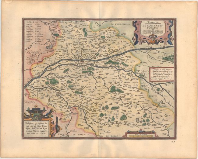
MapMaker: |
Abraham Ortelius
|
|
| |
| |
Subject: |
Western France |
|
| |
Period/Size: |
1598 / 14.1" x 18.1" (35.9 x 46.0 cm)
|
|
| |
Color: |
Colored
|
|
| |
Condition: |
(A) A superb impression on paper with the common horn coat of arms watermark found on Ortelius maps. There is light toning along the edges of the sheet. The city of Lestoille (at top center) has been circled in old manuscript ink, and a manuscript page (condition help) |
|
| |
Source: |
Theatrum Orbis Terrarum |
|
| |
References: |
Van den Broecke #42. |
|
| |
|
|
| Sales Information |
| |
| |
Price: |
|
|
| |
| |
Offered by: |
Old World Auctions |
|
| |
Catalog: |
Auction No. 166 - Antique Maps, Charts, Atlases & Globes (9434) |
|
| |
Lot/Item #: |
478 |
|
| |
| |
Date: |
02/2018
|
|
| |
| |
|