| Item Detail |
| |
| |
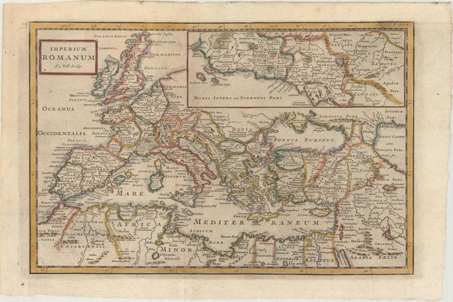
MapMaker: |
Herman Moll
|
|
| |
| |
Subject: |
Mediterranean |
|
| |
Period/Size: |
1711 / 9.0" x 13.8" (22.9 x 35.1 cm)
|
|
| |
Color: |
Colored
|
|
| |
Condition: |
(A) A dark impression, issued folding with light printer's ink residue and very minor toning. (condition help) |
|
| |
Source: |
Introductio in Universam Geographiam |
|
| |
References: |
McCorkle (18th C. Geography Books) #58-22; Shirley (BL Atlases) T.CLUV-9a #21. |
|
| |
|
|
| Sales Information |
| |
| |
Price: |
|
|
| |
| |
Offered by: |
Old World Auctions |
|
| |
Catalog: |
Auction No. 166 - Antique Maps, Charts, Atlases & Globes (9434) |
|
| |
Lot/Item #: |
601 |
|
| |
| |
Date: |
02/2018
|
|
| |
| |
|