| Item Detail |
| |
| |
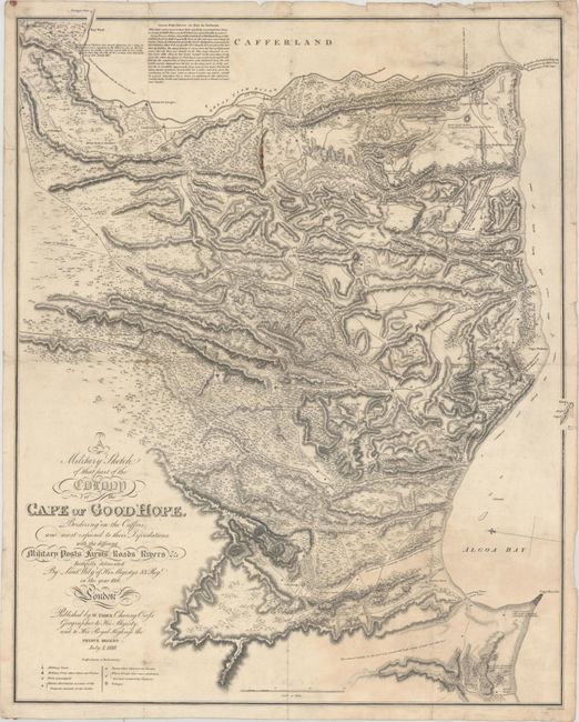
MapMaker: |
William Faden
|
|
| |
| |
Subject: |
Southern Africa |
|
| |
Period/Size: |
1818 / 23.8" x 19.3" (60.5 x 49.1 cm)
|
|
| |
Color: |
Black & White
|
|
| |
Condition: |
(B+) Issued folding on watermarked paper with a few minor fold separations and light scattered foxing. There is a small line of extraneous red wax in the upper portion of the image, and remnants of wax on verso at top and bottom. (condition help) |
|
| |
Source: |
|
|
| |
References: |
Norwich #232. |
|
| |
|
|
| Sales Information |
| |
| |
Price: |
|
|
| |
| |
Offered by: |
Old World Auctions |
|
| |
Catalog: |
Auction No. 166 - Antique Maps, Charts, Atlases & Globes (9434) |
|
| |
Lot/Item #: |
716 |
|
| |
| |
Date: |
02/2018
|
|
| |
| |
|