| Item Detail |
| |
| |
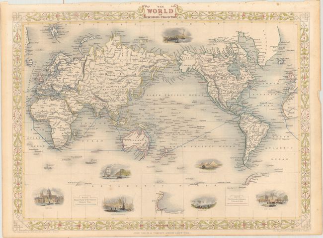
MapMaker: |
John Tallis
|
|
| |
| |
Subject: |
World |
|
| |
Period/Size: |
1851 / 10.4" x 13.8" (26.5 x 35.1 cm)
|
|
| |
Color: |
Colored
|
|
| |
Condition: |
(B+) Original outline color with later color in the decorative elements. There is minor toning, light soiling, a short tear in the right blank margin, and binding holes in the top blank margin. (condition help) |
|
| |
Source: |
Illustrated Atlas and Modern History of the World |
|
| |
References: |
|
|
| |
|
|
| Sales Information |
| |
| |
Price: |
|
|
| |
| |
Offered by: |
Old World Auctions |
|
| |
Catalog: |
Auction No. 166 - Antique Maps, Charts, Atlases & Globes (9434) |
|
| |
Lot/Item #: |
33 |
|
| |
| |
Date: |
02/2018
|
|
| |
| |
|