| Item Detail |
| |
| |
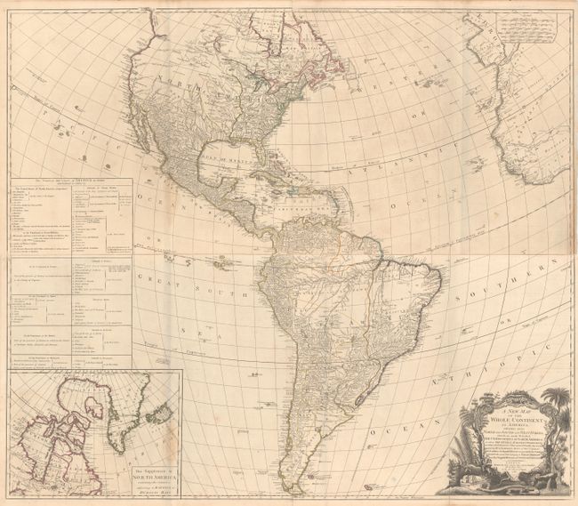
MapMaker: |
Robert Sayer
|
|
| |
| |
Subject: |
Western Hemisphere - America |
|
| |
Period/Size: |
1786 / 20.3" x 46.8" (51.6 x 118.9 cm)
|
|
| |
Color: |
Colored
|
|
| |
Condition: |
(B+) A crisp impression with original outline color on paper with the watermarks of a large fleur-de-lis coat of arms and "IV." There is minor offsetting, light soiling, an extraneous vertical crease on the top sheet at right, and a small damp stain on e (condition help) |
|
| |
Source: |
|
|
| |
References: |
Tooley (America) p. 52, #3.e; McGuirk #112. |
|
| |
|
|
| Sales Information |
| |
| |
Price: |
|
|
| |
| |
Offered by: |
Old World Auctions |
|
| |
Catalog: |
Auction No. 167 - Antique Maps, Charts, Atlases & Globes (9435) |
|
| |
Lot/Item #: |
44 |
|
| |
| |
Date: |
03/2018
|
|
| |
| |
|