| Item Detail |
| |
| |
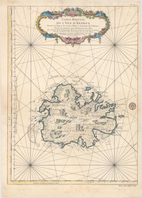
MapMaker: |
Jacques Nicolas Bellin
|
|
| |
| |
Subject: |
Antigua |
|
| |
Period/Size: |
1758 / 22.3" x 16.4" (56.7 x 41.7 cm)
|
|
| |
Color: |
Colored
|
|
| |
Condition: |
(B+) On sturdy paper with minor soiling, a faint damp stain at bottom right, some foxing confined to the bottom blank margins, and several edge tears that enter 1/2" or less into image at the sides that have all been archivally repaired on verso. (condition help) |
|
| |
Source: |
Hydrographie Francoise… |
|
| |
References: |
Tooley (MCC-55) #29. |
|
| |
|
|
| Sales Information |
| |
| |
Price: |
|
|
| |
| |
Offered by: |
Old World Auctions |
|
| |
Catalog: |
Auction No. 167 - Antique Maps, Charts, Atlases & Globes (9435) |
|
| |
Lot/Item #: |
225 |
|
| |
| |
Date: |
03/2018
|
|
| |
| |
|