| Item Detail |
| |
| |
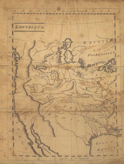
MapMaker: |
Patrick Gass
|
|
| |
| |
Subject: |
Exploration, Western United States |
|
| |
Period/Size: |
1812 / 7.3" x 4.6" (18.6 x 11.7 cm)
|
|
| |
Color: |
Black & White
|
|
| |
Condition: |
(B) The folding map has light toning, foxing, and some staining at right. Text and plates are also toned with scattered foxing and soiling. The front and rear free end papers contain manuscript notations. Covers and spine have typical wear along with b (condition help) |
|
| |
Source: |
|
|
| |
References: |
Howes #G77; Sabin #26741; Wagner-Camp #6:7; Streeter Sale #3217; Wheat (TMW) #308. |
|
| |
|
|
| Sales Information |
| |
| |
Price: |
|
|
| |
| |
Offered by: |
Old World Auctions |
|
| |
Catalog: |
Auction No. 167 - Antique Maps, Charts, Atlases & Globes (9435) |
|
| |
Lot/Item #: |
124 |
|
| |
| |
Date: |
03/2018
|
|
| |
| |
|