| Item Detail |
| |
| |
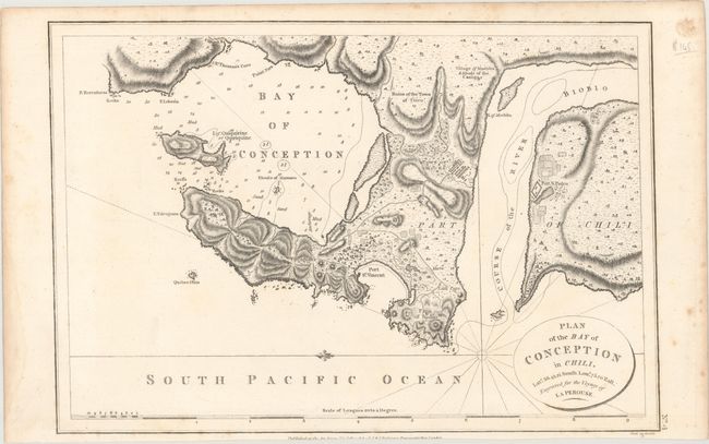
MapMaker: |
Robinson
|
|
| |
| |
Subject: |
Bay of Conception, Chile |
|
| |
Period/Size: |
1798 / 9.8" x 14.4" (24.9 x 36.6 cm)
|
|
| |
Color: |
Black & White
|
|
| |
Condition: |
(A) A nice impression on a watermarked sheet with faint spots and some scattered foxing confined to the blank margins. (condition help) |
|
| |
Source: |
Charts and Plates to La Perouse's Voyage |
|
| |
References: |
|
|
| |
|
|
| Sales Information |
| |
| |
Price: |
|
|
| |
| |
Offered by: |
Old World Auctions |
|
| |
Catalog: |
Auction No. 167 - Antique Maps, Charts, Atlases & Globes (9435) |
|
| |
Lot/Item #: |
245 |
|
| |
| |
Date: |
03/2018
|
|
| |
| |
|