| Item Detail |
| |
| |
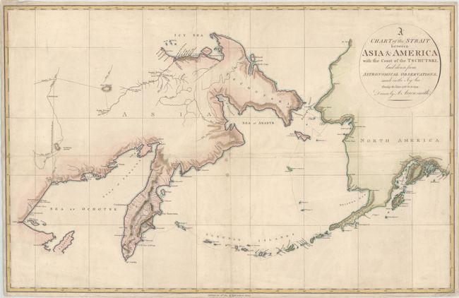
MapMaker: |
Aaron Arrowsmith, Jr.
|
|
| |
| |
Subject: |
North Pacific Ocean |
|
| |
Period/Size: |
1802 / 15.8" x 24.5" (40.2 x 62.3 cm)
|
|
| |
Color: |
Colored
|
|
| |
Condition: |
(B+) Issued folding with some extraneous creasing, two small spots near the center, and overall light soiling. Margins are narrow, as issued, but still ample for framing. (condition help) |
|
| |
Source: |
An Account of a Geographical and Astronomical Expedition to the Northern Parts o |
|
| |
References: |
Falk #1802-2. |
|
| |
|
|
| Sales Information |
| |
| |
Price: |
|
|
| |
| |
Offered by: |
Old World Auctions |
|
| |
Catalog: |
Auction No. 167 - Antique Maps, Charts, Atlases & Globes (9435) |
|
| |
Lot/Item #: |
416 |
|
| |
| |
Date: |
03/2018
|
|
| |
| |
|