Title:
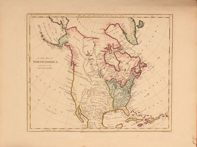
“A General Atlas, Being a Collection of Maps of the World and Quarters the Principal Empires, Kingdoms &c. with Their Several Provinces, & Other Subdivisions, Correctly Delineated”
Map Maker:
Robert Wilkinson
This uncommon atlas contains 48 copper engraved ma... (full text available to subscribers)
| Item Detail |
| |
| |
MapMaker: |
Robert Wilkinson
|
|
| |
| |
Subject: |
Atlases, World |
|
| |
Period/Size: |
1794 / 14.1" x 11.4" (35.9 x 29.0 cm)
|
|
| |
Color: |
Colored
|
|
| |
Condition: |
(B+) Condition code is for the maps, which are generally very good to near fine with occasional light foxing or offsetting. The double-page world maps have light toning along the centerfold, but are still very good. The one exception is the map of the e (condition help) |
|
| |
Source: |
|
|
| |
References: |
|
|
| |
|
|
| Sales Information |
| |
| |
Price: |
|
|
| |
| |
Offered by: |
Old World Auctions |
|
| |
Catalog: |
Auction No. 167 - Antique Maps, Charts, Atlases & Globes (9435) |
|
| |
Lot/Item #: |
437 |
|
| |
| |
Date: |
03/2018
|
|
| |
| |
|
Antique Maps - Valuation and Pricing, Descriptions, Resources |
|
Home |
Information |
Search |
Register |
Contact Us |
Site Map
Americana Exchange, Inc. © 1999 - 2024 Americana Exchange, Inc.. All rights reserved.
OldMaps.com, the OldMaps.com logo and
AMPR are service marks or registered service marks of Americana Exchange, Inc..
|