| Item Detail |
| |
| |
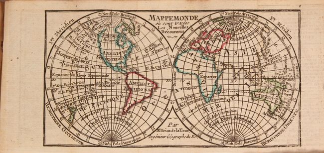
MapMaker: |
Langlois & Deschamps
|
|
| |
| |
Subject: |
Geography Books |
|
| |
Period/Size: |
1778 / 3.8" x 2.4" (9.7 x 6.1 cm)
|
|
| |
Color: |
Colored
|
|
| |
Condition: |
(B+) The maps of the world, Europe and France are in near fine condition with a hint of toning along one fold and minor offsetting. The maps of the remaining continents are very good with light toning, soiling, and offsetting. The text also has light to (condition help) |
|
| |
Source: |
|
|
| |
References: |
|
|
| |
|
|
| Sales Information |
| |
| |
Price: |
|
|
| |
| |
Offered by: |
Old World Auctions |
|
| |
Catalog: |
Auction No. 167 - Antique Maps, Charts, Atlases & Globes (9435) |
|
| |
Lot/Item #: |
442 |
|
| |
| |
Date: |
03/2018
|
|
| |
| |
|