| Item Detail |
| |
| |
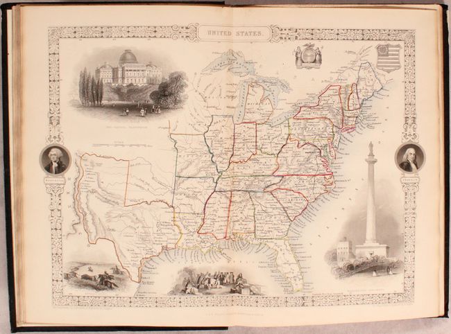
MapMaker: |
John Tallis
|
|
| |
| |
Subject: |
Books with maps, United States |
|
| |
Period/Size: |
1850 / 11.4" x 7.8" (29.0 x 19.9 cm)
|
|
| |
Color: |
Colored
|
|
| |
Condition: |
(B+) The maps are overall very good to near fine with occasional light toning and faint foxing. The plates are very good with scattered foxing. Text is clean, bright, and near fine. A former owner's bookplate is present on the front pastedown of each v (condition help) |
|
| |
Source: |
|
|
| |
References: |
|
|
| |
|
|
| Sales Information |
| |
| |
Price: |
|
|
| |
| |
Offered by: |
Old World Auctions |
|
| |
Catalog: |
Auction No. 167 - Antique Maps, Charts, Atlases & Globes (9435) |
|
| |
Lot/Item #: |
447 |
|
| |
| |
Date: |
03/2018
|
|
| |
| |
|