| Item Detail |
| |
| |
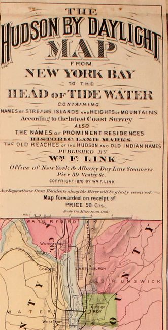
MapMaker: |
W.F. Link
|
|
| |
| |
Subject: |
New York |
|
| |
Period/Size: |
1878 / 106.3" x 5.3" (270.0 x 13.5 cm)
|
|
| |
Color: |
Colored
|
|
| |
Condition: |
(B+) The map has light soiling and minor wear along a few fold lines from use. A few small separations on one fold have been closed on verso with archival tape. Trimmed to the neatline at top as issued. Text is lightly toned and paper wrappers are mode (condition help) |
|
| |
Source: |
|
|
| |
References: |
|
|
| |
|
|
| Sales Information |
| |
| |
Price: |
|
|
| |
| |
Offered by: |
Old World Auctions |
|
| |
Catalog: |
Auction No. 168 - Antique Maps, Charts, Atlases & Globes (9436) |
|
| |
Lot/Item #: |
274 |
|
| |
| |
Date: |
06/2018
|
|
| |
| |
|