| Item Detail |
| |
| |
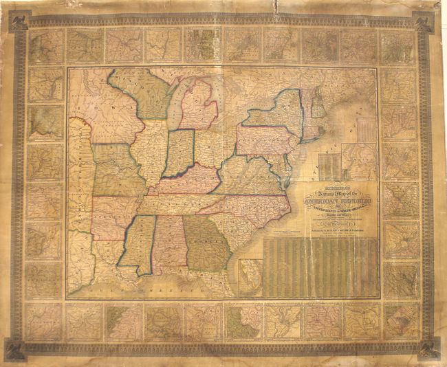
MapMaker: |
Mitchell/Young
|
|
| |
| |
Subject: |
Eastern United States |
|
| |
Period/Size: |
1843 / 38.3" x 46.6" (97.3 x 118.4 cm)
|
|
| |
Color: |
Colored
|
|
| |
Condition: |
(B) Original color. The map is toned and soiled, with damp stains at top and bottom. There are several short cracks in the map, a few chips confined to the blank margins, and a tear that enters less than 1" into border at top. (condition help) |
|
| |
Source: |
|
|
| |
References: |
|
|
| |
|
|
| Sales Information |
| |
| |
Price: |
|
|
| |
| |
Offered by: |
Old World Auctions |
|
| |
Catalog: |
Auction No. 168 - Antique Maps, Charts, Atlases & Globes (9436) |
|
| |
Lot/Item #: |
154 |
|
| |
| |
Date: |
06/2018
|
|
| |
| |
|