| Item Detail |
| |
| |
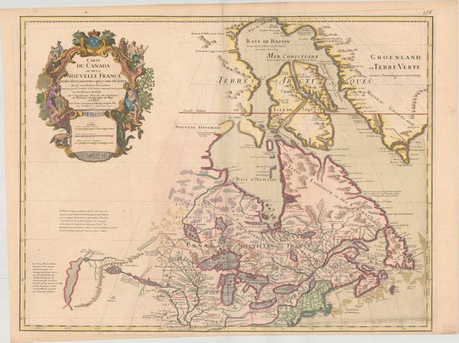
MapMaker: |
Guillaume Delisle
|
|
| |
| |
Subject: |
Colonial Northeastern United States & Canada, Great Lakes |
|
| |
Period/Size: |
1718 / 19.7" x 25.5" (50.1 x 64.8 cm)
|
|
| |
Color: |
Colored
|
|
| |
Condition: |
(B+) A nice impression on watermarked paper with minor soiling at bottom right. There are two light extraneous creases to the right of the centerfold, one of which has been reinforced on verso with hinge tape. (condition help) |
|
| |
Source: |
|
|
| |
References: |
Kershaw #312; Schwartz & Ehrenberg p. 135-137 & Plt. 80; Tooley (Amer) #38 & Plt. 10; Karpinski pp. 118 & 123. |
|
| |
|
|
| Sales Information |
| |
| |
Price: |
|
|
| |
| |
Offered by: |
Old World Auctions |
|
| |
Catalog: |
Auction No. 168 - Antique Maps, Charts, Atlases & Globes (9436) |
|
| |
Lot/Item #: |
126 |
|
| |
| |
Date: |
06/2018
|
|
| |
| |
|