| Item Detail |
| |
| |
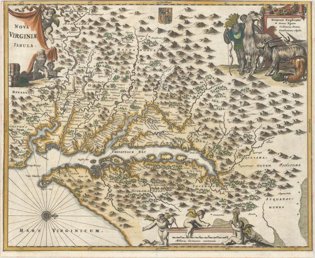
MapMaker: |
Arnoldus Montanus
|
|
| |
| |
Subject: |
Colonial Mid-Atlantic United States |
|
| |
Period/Size: |
1671 / 11.5" x 14.1" (29.3 x 35.9 cm)
|
|
| |
Color: |
Colored
|
|
| |
Condition: |
(A) A crisp impression on a clean, bright sheet with a jester watermark. The plate was printed on a sheet that was too small, and therefore there is no top margin, and the left and right margins are narrow. (condition help) |
|
| |
Source: |
De Nieuwe en Onbekende Weereld |
|
| |
References: |
Burden #412; Goss (NA) #38; Tooley (Amer) p.168-9, plt. 76. |
|
| |
|
|
| Sales Information |
| |
| |
Price: |
|
|
| |
| |
Offered by: |
Old World Auctions |
|
| |
Catalog: |
Auction No. 168 - Antique Maps, Charts, Atlases & Globes (9436) |
|
| |
Lot/Item #: |
163 |
|
| |
| |
Date: |
06/2018
|
|
| |
| |
|