| Item Detail |
| |
| |
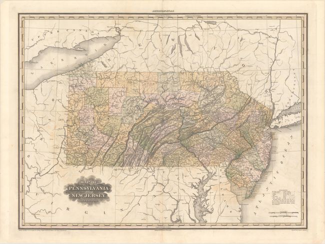
MapMaker: |
Henry Schenck Tanner
|
|
| |
| |
Subject: |
Pennsylvania, New Jersey |
|
| |
Period/Size: |
1823 / 20.6" x 27.6" (52.4 x 70.1 cm)
|
|
| |
Color: |
Colored
|
|
| |
Condition: |
(B+) The sheet has been professionally backed with tissue to reinforce and repair a centerfold separation that nearly runs the length of the map, an adjacent 2.5" thin cut, and a 2.5" edge tear at top. Light offsetting. (condition help) |
|
| |
Source: |
A New American Atlas |
|
| |
References: |
Phillips (Atlases) #4462-13 |
|
| |
|
|
| Sales Information |
| |
| |
Price: |
|
|
| |
| |
Offered by: |
Old World Auctions |
|
| |
Catalog: |
Auction No. 168 - Antique Maps, Charts, Atlases & Globes (9436) |
|
| |
Lot/Item #: |
171 |
|
| |
| |
Date: |
06/2018
|
|
| |
| |
|