| Item Detail |
| |
| |
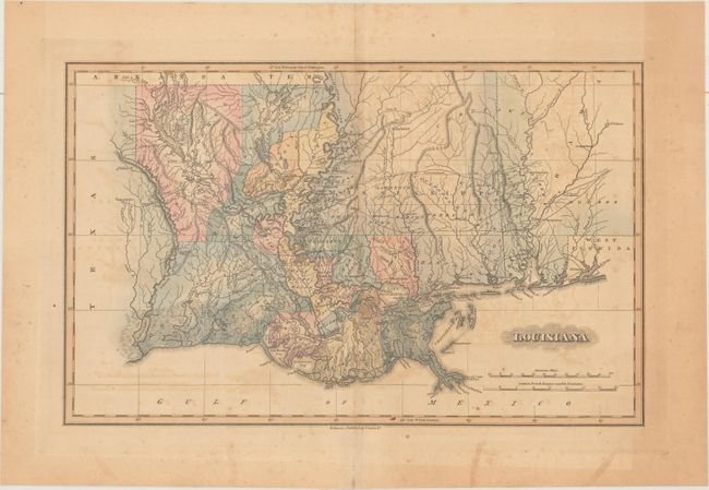
MapMaker: |
Fielding Lucas
|
|
| |
| |
Subject: |
Southern United States |
|
| |
Period/Size: |
1823 / 10.9" x 17.3" (27.7 x 44.0 cm)
|
|
| |
Color: |
Colored
|
|
| |
Condition: |
(B) Light to moderate toning and offsetting. Centerfold separations at top and bottom are confined to the blank margins. The bottom separation has been closed on recto with archival tape. (condition help) |
|
| |
Source: |
A General Atlas Containing Distinct Maps of All the Known Countries in the World |
|
| |
References: |
|
|
| |
|
|
| Sales Information |
| |
| |
Price: |
|
|
| |
| |
Offered by: |
Old World Auctions |
|
| |
Catalog: |
Auction No. 168 - Antique Maps, Charts, Atlases & Globes (9436) |
|
| |
Lot/Item #: |
182 |
|
| |
| |
Date: |
06/2018
|
|
| |
| |
|