| Item Detail |
| |
| |
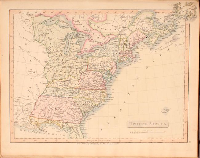
MapMaker: |
Charles Smith
|
|
| |
| |
Subject: |
Atlases, World |
|
| |
Period/Size: |
1816 / 15.8" x 12.7" (40.2 x 32.3 cm)
|
|
| |
Color: |
Colored
|
|
| |
Condition: |
(B+) Condition code is for the maps which are very good to mostly near fine with occasional faint scattered foxing, light offsetting, and minor surface soiling. The map of Prussia has a short edge tear along the top border that just enters the image. Th (condition help) |
|
| |
Source: |
|
|
| |
References: |
Phillips (Atlases) #729. |
|
| |
|
|
| Sales Information |
| |
| |
Price: |
|
|
| |
| |
Offered by: |
Old World Auctions |
|
| |
Catalog: |
Auction No. 168 - Antique Maps, Charts, Atlases & Globes (9436) |
|
| |
Lot/Item #: |
710 |
|
| |
| |
Date: |
06/2018
|
|
| |
| |
|