| Item Detail |
| |
| |
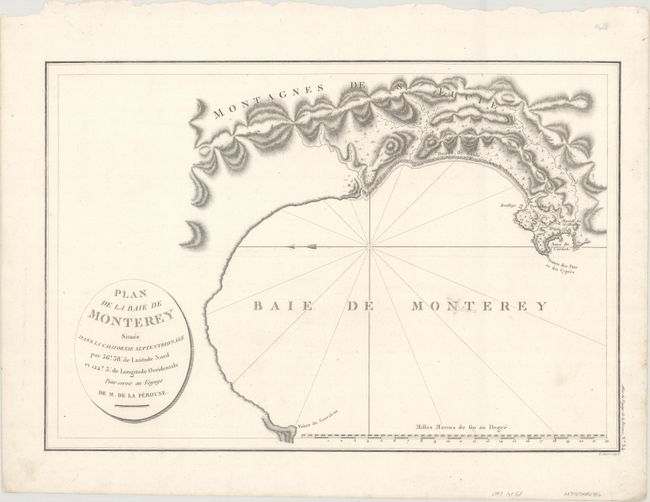
MapMaker: |
Jean Francois Galaup de La Perouse
|
|
| |
| |
Subject: |
Monterey Bay, California |
|
| |
Period/Size: |
1797 / 13.3" x 19.4" (33.8 x 49.3 cm)
|
|
| |
Color: |
Black & White
|
|
| |
Condition: |
(B+) A dark impression on a clean sheet. There is a small worm track at center that has been infilled with archival materials with a portion of the "N" and "T" in "Monterey" replaced in facsimile. (condition help) |
|
| |
Source: |
Atlas du Voyage de La Perouse |
|
| |
References: |
Phillips (Atlases) #688-15; Wagner (NW) #847. |
|
| |
|
|
| Sales Information |
| |
| |
Price: |
|
|
| |
| |
Offered by: |
Old World Auctions |
|
| |
Catalog: |
Auction No. 168 - Antique Maps, Charts, Atlases & Globes (9436) |
|
| |
Lot/Item #: |
227 |
|
| |
| |
Date: |
06/2018
|
|
| |
| |
|