| Item Detail |
| |
| |
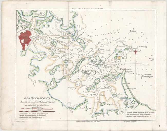
MapMaker: |
Blunt [Family]
|
|
| |
| |
Subject: |
Boston, Massachusetts |
|
| |
Period/Size: |
1854 / 8.1" x 10.1" (20.6 x 25.7 cm)
|
|
| |
Color: |
Colored
|
|
| |
Condition: |
(A) Issued folding with faint offsetting, minor extraneous creasing, and a tiny worm hole at right that is only visible when held up to light. (condition help) |
|
| |
Source: |
American Coast Pilot 17th Edition |
|
| |
References: |
|
|
| |
|
|
| Sales Information |
| |
| |
Price: |
|
|
| |
| |
Offered by: |
Old World Auctions |
|
| |
Catalog: |
Auction No. 168 - Antique Maps, Charts, Atlases & Globes (9436) |
|
| |
Lot/Item #: |
260 |
|
| |
| |
Date: |
06/2018
|
|
| |
| |
|