| Item Detail |
| |
| |
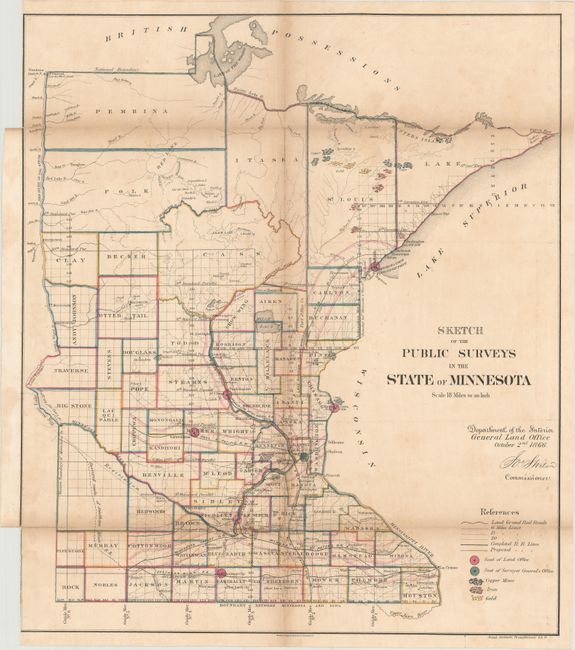
MapMaker: |
General Land Office
|
|
| |
| |
Subject: |
Minnesota |
|
| |
Period/Size: |
1866 / 22.8" x 19.8" (58.0 x 50.3 cm)
|
|
| |
Color: |
Colored
|
|
| |
Condition: |
(B) Backed with original linen and issued folding. There is toning along the fold lines and several small fold separations that have been mostly closed on verso with archival tape. There are binding trims at top and bottom left, both of which are trimme (condition help) |
|
| |
Source: |
|
|
| |
References: |
|
|
| |
|
|
| Sales Information |
| |
| |
Price: |
|
|
| |
| |
Offered by: |
Old World Auctions |
|
| |
Catalog: |
Auction No. 168 - Antique Maps, Charts, Atlases & Globes (9436) |
|
| |
Lot/Item #: |
265 |
|
| |
| |
Date: |
06/2018
|
|
| |
| |
|