| Item Detail |
| |
| |
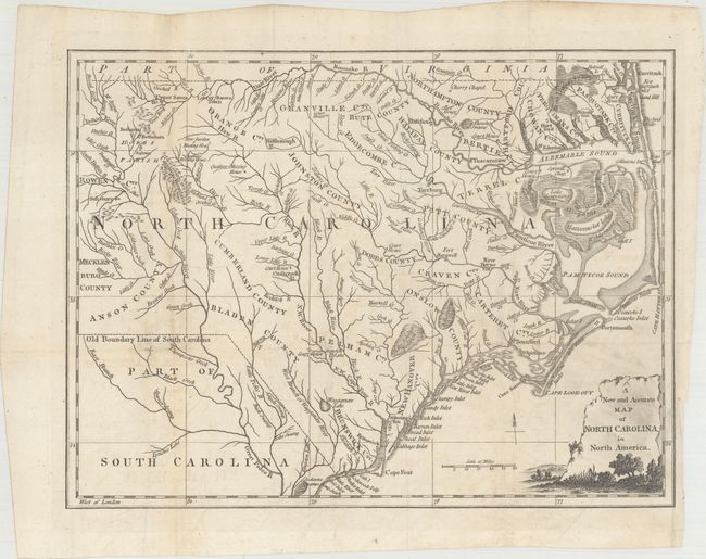
MapMaker: |
Anonymous
|
|
| |
| |
Subject: |
North Carolina |
|
| |
Period/Size: |
1779 / 10.6" x 14.0" (27.0 x 35.6 cm)
|
|
| |
Color: |
Black & White
|
|
| |
Condition: |
(B+) Issued folding, now flattened, with archival repairs to a short fold separation and a couple of tiny holes at fold intersections. There is some printer's ink residue in the title cartouche and faint offsetting. (condition help) |
|
| |
Source: |
Universal Magazine |
|
| |
References: |
Jolly #UNIV-182; Sellers & Van Ee #1501. |
|
| |
|
|
| Sales Information |
| |
| |
Price: |
|
|
| |
| |
Offered by: |
Old World Auctions |
|
| |
Catalog: |
Auction No. 168 - Antique Maps, Charts, Atlases & Globes (9436) |
|
| |
Lot/Item #: |
281 |
|
| |
| |
Date: |
06/2018
|
|
| |
| |
|