| Item Detail |
| |
| |
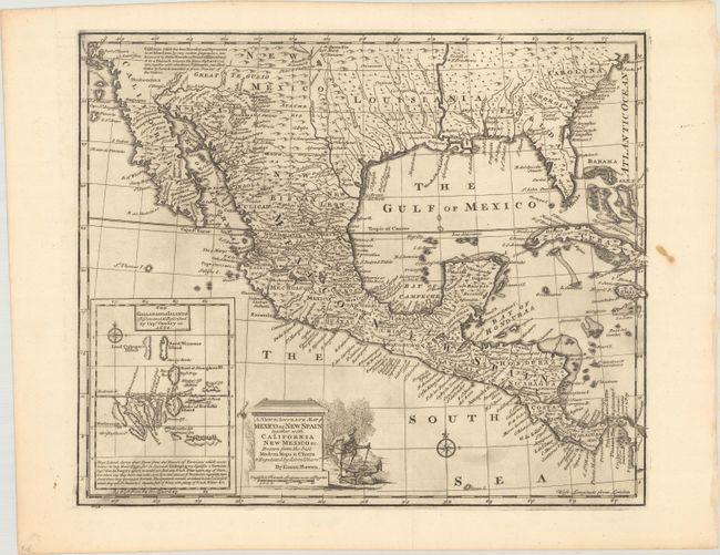
MapMaker: |
Emanuel Bowen
|
|
| |
| |
Subject: |
Southern United States, Mexico & Central America |
|
| |
Period/Size: |
1747 / 13.8" x 16.6" (35.1 x 42.2 cm)
|
|
| |
Color: |
Black & White
|
|
| |
Condition: |
(A) A dark impression, issued folding with light printer's ink residue and a stain in the right blank margin. This map was deaccessioned from the Sondley Library, whose blind stamp is visible on verso. (condition help) |
|
| |
Source: |
A Complete System of Geography |
|
| |
References: |
Shirley (BL Atlases) T.BOW-2a #57; Wheat (TMW) #126. |
|
| |
|
|
| Sales Information |
| |
| |
Price: |
|
|
| |
| |
Offered by: |
Old World Auctions |
|
| |
Catalog: |
Auction No. 168 - Antique Maps, Charts, Atlases & Globes (9436) |
|
| |
Lot/Item #: |
312 |
|
| |
| |
Date: |
06/2018
|
|
| |
| |
|