| Item Detail |
| |
| |
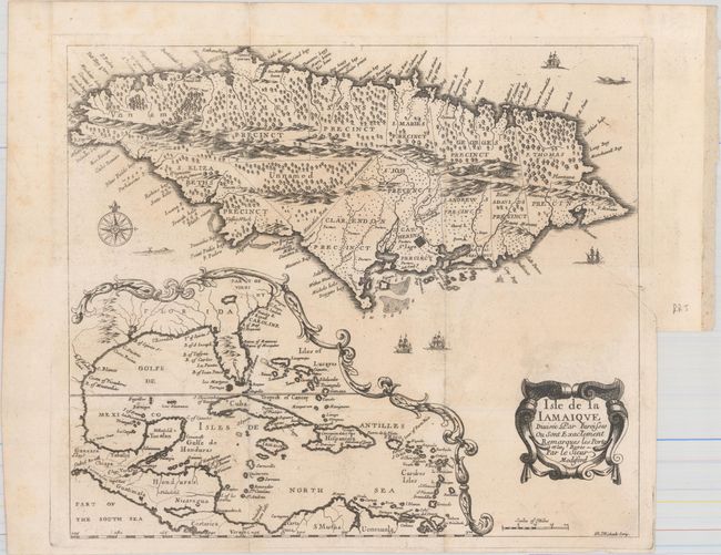
MapMaker: |
Rene Michault
|
|
| |
| |
Subject: |
Jamaica, Gulf of Mexico & Caribbean |
|
| |
Period/Size: |
1674 / 10.9" x 12.6" (27.7 x 32.0 cm)
|
|
| |
Color: |
Black & White
|
|
| |
Condition: |
(B+) Issued folding on watermarked paper with faint offsetting. There is a binding trim at right with an associated tear that enters about 1" into image and has been archivally repaired. (condition help) |
|
| |
Source: |
Henri Justel's Recueil de divers voyages faits en Afrique et en l'Amerique |
|
| |
References: |
Burden #440; Kapp (MCC-42) #18. |
|
| |
|
|
| Sales Information |
| |
| |
Price: |
|
|
| |
| |
Offered by: |
Old World Auctions |
|
| |
Catalog: |
Auction No. 168 - Antique Maps, Charts, Atlases & Globes (9436) |
|
| |
Lot/Item #: |
356 |
|
| |
| |
Date: |
06/2018
|
|
| |
| |
|