Title:
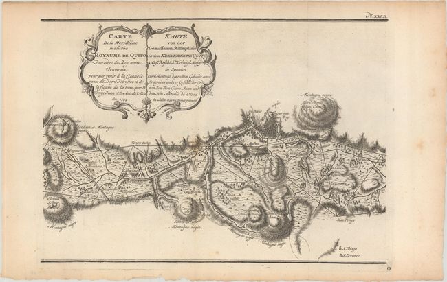
“Carte de la Meridiene Mesuree au Royaume de Quito... / Karte von der Gemessenen Mittagslinie in dem Koenigreiche Quito…”
Map Maker:
Antonio de [Alonso] Ulloa
This rare map appeared in Antonio de Ulloa and Jor... (full text available to subscribers)
| Item Detail |
| |
| |
MapMaker: |
Antonio de [Alonso] Ulloa
|
|
| |
| |
Subject: |
Equador |
|
| |
Period/Size: |
1744 / 9.2" x 13.0" (23.4 x 33.1 cm)
|
|
| |
Color: |
Black & White
|
|
| |
Condition: |
(B+) Issued folding on watermarked paper with a few spots of foxing and light toning along the sheet edges. (condition help) |
|
| |
Source: |
|
|
| |
References: |
cf. Shirley (BL Atlases) G.ULL-1a #5. |
|
| |
|
|
| Sales Information |
| |
| |
Price: |
|
|
| |
| |
Offered by: |
Old World Auctions |
|
| |
Catalog: |
Auction No. 168 - Antique Maps, Charts, Atlases & Globes (9436) |
|
| |
Lot/Item #: |
384 |
|
| |
| |
Date: |
06/2018
|
|
| |
| |
|
Antique Maps - Valuation and Pricing, Descriptions, Resources |
|
Home |
Information |
Search |
Register |
Contact Us |
Site Map
Americana Exchange, Inc. © 1999 - 2024 Americana Exchange, Inc.. All rights reserved.
OldMaps.com, the OldMaps.com logo and
AMPR are service marks or registered service marks of Americana Exchange, Inc..
|