| Item Detail |
| |
| |
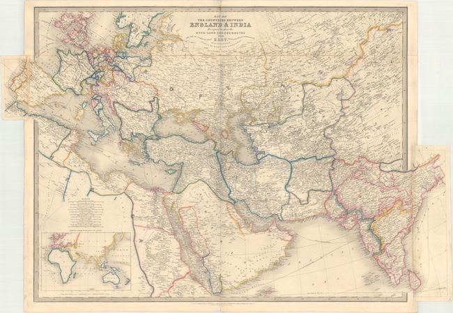
MapMaker: |
James Wyld
|
|
| |
| |
Subject: |
Europe & Western Asia |
|
| |
Period/Size: |
1853 / 24.4" x 36.4" (62.0 x 92.5 cm)
|
|
| |
Color: |
Colored
|
|
| |
Condition: |
(B+) Original outline color with minor soiling. The majority of the original linen tape on verso that attached the top portion of the map is still present, and the areas where it is missing have been professionally reattached with archival material. A m (condition help) |
|
| |
Source: |
|
|
| |
References: |
|
|
| |
|
|
| Sales Information |
| |
| |
Price: |
|
|
| |
| |
Offered by: |
Old World Auctions |
|
| |
Catalog: |
Auction No. 168 - Antique Maps, Charts, Atlases & Globes (9436) |
|
| |
Lot/Item #: |
417 |
|
| |
| |
Date: |
06/2018
|
|
| |
| |
|