| Item Detail |
| |
| |
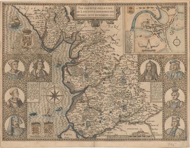
MapMaker: |
John Speed
|
|
| |
| |
Subject: |
Lancaster, England |
|
| |
Period/Size: |
1610 / 15.0" x 20.1" (38.1 x 51.1 cm)
|
|
| |
Color: |
Colored
|
|
| |
Condition: |
(B) A dark impression with a 4" centerfold separation at bottom and a 1.5 x 3" chip at the top of the centerfold that have both been archivally repaired on verso with tissue. There is also a small chip in the bottom right corner of the sheet that has bee (condition help) |
|
| |
Source: |
Theatre of the Empire of Great Britaine |
|
| |
References: |
Shirley (BL Atlases) T.SPE-1e. |
|
| |
|
|
| Sales Information |
| |
| |
Price: |
|
|
| |
| |
Offered by: |
Old World Auctions |
|
| |
Catalog: |
Auction No. 168 - Antique Maps, Charts, Atlases & Globes (9436) |
|
| |
Lot/Item #: |
435 |
|
| |
| |
Date: |
06/2018
|
|
| |
| |
|