Title:
“The National Atlas. Containing Elaborate Topographical Maps of the United States and the Dominion of Canada, with Plans of Cities and General Maps of the World...”
Map Maker:
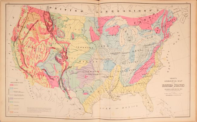
O.W & F.A Gray
This complete atlas contains 37 single and 34 doub... (full text available to subscribers)
| Item Detail |
| |
| |
MapMaker: |
O.W & F.A Gray
|
|
| |
| |
Subject: |
Atlases, United States |
|
| |
Period/Size: |
1881 / 17.8" x 15.1" (45.3 x 38.4 cm)
|
|
| |
Color: |
Colored
|
|
| |
Condition: |
(B+) The maps are generally very good with light scattered foxing and an occasional edge tear at bottom that has been closed on verso with archival tape. Rebound with faux leather spine and tips and original boards, which are moderately worn and stained. (condition help) |
|
| |
Source: |
|
|
| |
References: |
|
|
| |
|
|
| Sales Information |
| |
| |
Price: |
|
|
| |
| |
Offered by: |
Old World Auctions |
|
| |
Catalog: |
Auction No. 168 - Antique Maps, Charts, Atlases & Globes (9436) |
|
| |
Lot/Item #: |
721 |
|
| |
| |
Date: |
06/2018
|
|
| |
| |
|
Antique Maps - Valuation and Pricing, Descriptions, Resources |
|
Home |
Information |
Search |
Register |
Contact Us |
Site Map
Americana Exchange, Inc. © 1999 - 2024 Americana Exchange, Inc.. All rights reserved.
OldMaps.com, the OldMaps.com logo and
AMPR are service marks or registered service marks of Americana Exchange, Inc..
|