Rister or Sign In to see pricing information


Title:

Confederazione del Chili, Stati Uniti Sulrio Plata, dittatorato del Paraguai, Repubblica Orientale dell'Urugai

Map Maker:

G. Tasso

Confederazione del Chili, Stati Uniti Sulrio Plata, dittatorato del Paraguai, Repubblica Orientale dell'Urugai

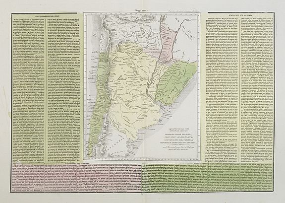
A rare and detailed double-page map of Chili, Para... (full text available to subscribers)
Item Detail
 
  MapMaker:  

G. Tasso


  Subject:  Southern South America  
  Period/Size:  c. 1840 / 13.2" x 19.1"  (33.5 x 48.5 cm)  
  Color:  Colored  
  Condition:  In attractive original colours. Printed on heavy paper. Mint condition. (condition help)  
  Source:   
  References:  Brunet, III, 859. Graesse, IV, p. 113. Quérard, IV, 586-589. Phillips, I, p. 37, n. 125.  
 
 
Sales Information
 
  Price: 

Please register your email to view records, or sign in with email address to see records


  Offered by:  Paulus Swaen Old Maps & Prints  
  Catalog:  March 19, 2019 - Internet Auction (9460)  
  Lot/Item #:  26901  
 
  Date:  03/2019  


Antique Maps - Valuation and Pricing, Descriptions, Resources


Home | Information | Search | Register | Contact Us | Site Map

Americana Exchange, Inc. © 1999 - 2024 Americana Exchange, Inc.. All rights reserved. OldMaps.com, the OldMaps.com logo and
AMPR are service marks or registered service marks of Americana Exchange, Inc..