| Item Detail |
| |
| |
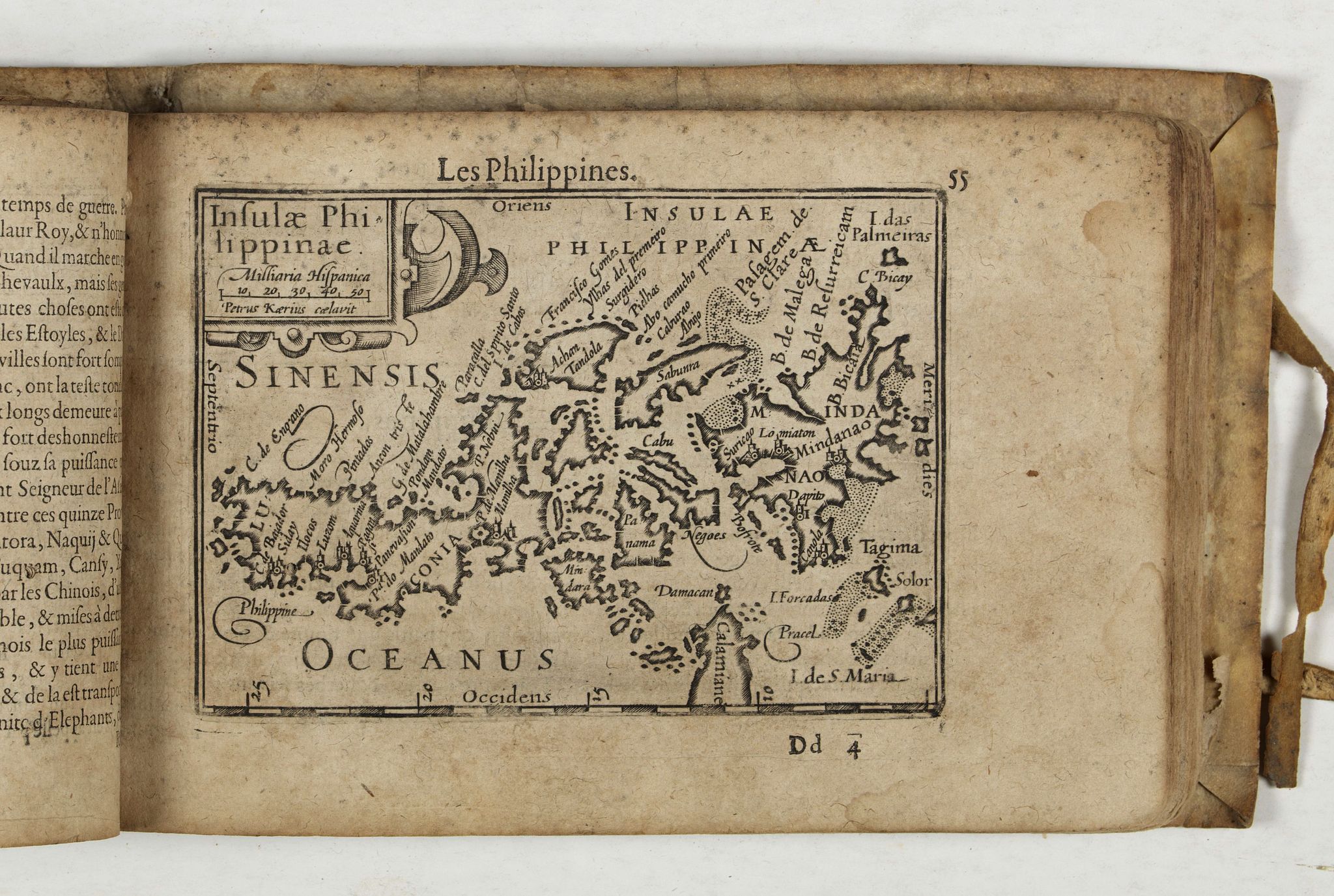
MapMaker: |
Petrus Bertius
|
|
| |
| |
Subject: |
Atlases, world |
|
| |
Period/Size: |
1602 / 4.8" x 3.3" (12.2 x 8.4 cm)
|
|
| |
Color: |
Black & White
|
|
| |
Condition: |
Title page missing, as are the first text pages, replaced in manuscript text. ¨Paper browned and brittle. Sold as is w.a.f. (condition help) |
|
| |
Source: |
|
|
| |
References: |
v.d.Krogt, Atlantes Neerlandici, volume, III A, 341:12 |
|
| |
|
|
| Sales Information |
| |
| |
Price: |
|
|
| |
| |
Offered by: |
Paulus Swaen Old Maps & Prints |
|
| |
Catalog: |
April 23, 2019 - Internet Auction (9464) |
|
| |
Lot/Item #: |
43919 |
|
| |
| |
Date: |
04/2019
|
|
| |
| |
|