Title:
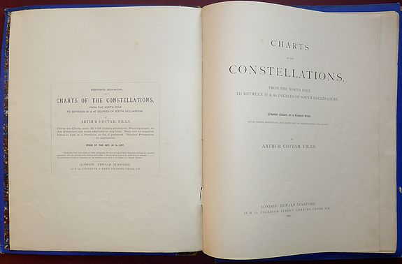
“Charts of the Constellations, from the North Pole to between 35 & 40 Degrees of South Declination. Popular Edition, on a Reduced Scale With Three Additional key Maps and Introduction and Notes”
Map Maker:
Edward Stanford
All 39 celestial charts are present plus the intro... (full text available to subscribers)
| Item Detail |
| |
| |
MapMaker: |
Edward Stanford
|
|
| |
| |
Subject: |
Atlases, celestial |
|
| |
Period/Size: |
1891 / 15.7" x 13.0" (39.9 x 33.1 cm)
|
|
| |
Color: |
Black & White
|
|
| |
Condition: |
In a cloth bound portfolio with leather spine marked, rubbed and worn with some nicks and tears. Marbled paper lining very good, Wrappers of Introduction and Notes part detached, just a few of the charts are lightly thumbed, otherwise very good. (condition help) |
|
| |
Source: |
|
|
| |
References: |
|
|
| |
|
|
| Sales Information |
| |
| |
Price: |
|
|
| |
| |
Offered by: |
Paulus Swaen Old Maps & Prints |
|
| |
Catalog: |
April 23, 2019 - Internet Auction (9464) |
|
| |
Lot/Item #: |
98194 |
|
| |
| |
Date: |
04/2019
|
|
| |
| |
|
Antique Maps - Valuation and Pricing, Descriptions, Resources |
|
Home |
Information |
Search |
Register |
Contact Us |
Site Map
Americana Exchange, Inc. © 1999 - 2024 Americana Exchange, Inc.. All rights reserved.
OldMaps.com, the OldMaps.com logo and
AMPR are service marks or registered service marks of Americana Exchange, Inc..
|