| Item Detail |
| |
| |
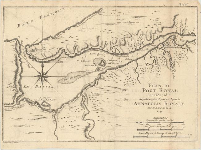
MapMaker: |
Jacques Nicolas Bellin
|
|
| |
| |
Subject: |
Nova Scotia, Canada |
|
| |
Period/Size: |
1744 / 7.6" x 11.1" (19.3 x 28.2 cm)
|
|
| |
Color: |
Black & White
|
|
| |
Condition: |
(B+) Issued folding on watermarked paper with light offsetting. There is a 1" fold separation at right and a few minor edge tears. (condition help) |
|
| |
Source: |
Histoire et Description Generale de la Nouvelle France |
|
| |
References: |
Kershaw #765; Tooley (MCC-96) #704. |
|
| |
|
|
| Sales Information |
| |
| |
Price: |
|
|
| |
| |
Offered by: |
Old World Auctions |
|
| |
Catalog: |
Auction No. 169 - Antique Maps, Charts, Atlases & Globes (9467) |
|
| |
Lot/Item #: |
124 |
|
| |
| |
Date: |
09/2018
|
|
| |
| |
|