| Item Detail |
| |
| |
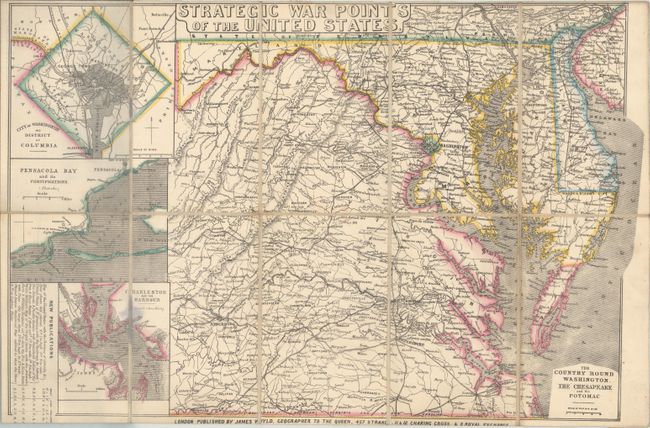
MapMaker: |
James Wyld
|
|
| |
| |
Subject: |
Mid-Atlantic United States, Civil War |
|
| |
Period/Size: |
1861 / 13.3" x 20.2" (33.8 x 51.3 cm)
|
|
| |
Color: |
Colored
|
|
| |
Condition: |
(B+) Issued folding on a clean sheet and backed with original linen. Covers are moderately rubbed with some loss of paper title on front cover. (condition help) |
|
| |
Source: |
|
|
| |
References: |
Stephenson (CW) #18.7. |
|
| |
|
|
| Sales Information |
| |
| |
Price: |
|
|
| |
| |
Offered by: |
Old World Auctions |
|
| |
Catalog: |
Auction No. 169 - Antique Maps, Charts, Atlases & Globes (9467) |
|
| |
Lot/Item #: |
185 |
|
| |
| |
Date: |
09/2018
|
|
| |
| |
|