| Item Detail |
| |
| |
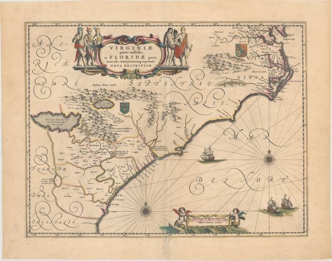
MapMaker: |
Willem Blaeu
|
|
| |
| |
Subject: |
Colonial Southeast United States |
|
| |
Period/Size: |
1680 / 15.1" x 19.8" (38.4 x 50.3 cm)
|
|
| |
Color: |
Colored
|
|
| |
Condition: |
(B+) A nice impression with contemporary color that was retouched in the turquoise elements, light printer's ink residue, and a couple of unobtrusive spots. There are archival repairs to a centerfold separation that enters 1/2" into image at bottom and t (condition help) |
|
| |
Source: |
|
|
| |
References: |
Burden #253; Van der Krogt (Vol. II) #9400:2. |
|
| |
|
|
| Sales Information |
| |
| |
Price: |
|
|
| |
| |
Offered by: |
Old World Auctions |
|
| |
Catalog: |
Auction No. 169 - Antique Maps, Charts, Atlases & Globes (9467) |
|
| |
Lot/Item #: |
189 |
|
| |
| |
Date: |
09/2018
|
|
| |
| |
|