| Item Detail |
| |
| |
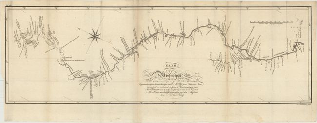
MapMaker: |
Zebulon Montgomery Pike
|
|
| |
| |
Subject: |
Central United States, Mississippi River |
|
| |
Period/Size: |
1812 / 8.9" x 27.7" (22.6 x 70.4 cm)
|
|
| |
Color: |
Black & White
|
|
| |
Condition: |
(B+) Issued folding on watermarked paper with minor toning and a bit of faint offsetting. (condition help) |
|
| |
Source: |
Reize Naar Nieuw-Mexico en de Binnenland van Louisiana... |
|
| |
References: |
Howes #P-373; Wagner-Camp #9:4, Sabin #62840; Streeter (Texas) #1047B. |
|
| |
|
|
| Sales Information |
| |
| |
Price: |
|
|
| |
| |
Offered by: |
Old World Auctions |
|
| |
Catalog: |
Auction No. 169 - Antique Maps, Charts, Atlases & Globes (9467) |
|
| |
Lot/Item #: |
201 |
|
| |
| |
Date: |
09/2018
|
|
| |
| |
|