| Item Detail |
| |
| |
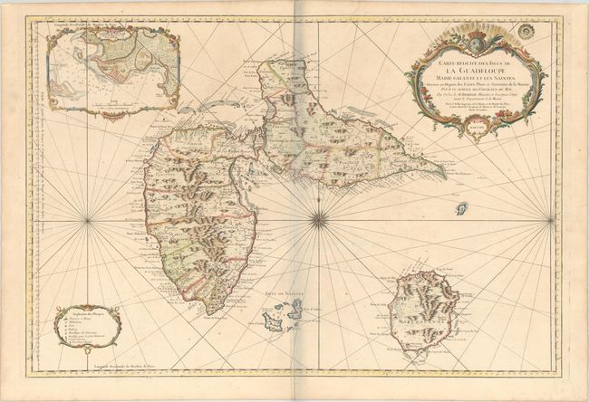
MapMaker: |
Jacques Nicolas Bellin
|
|
| |
| |
Subject: |
Guadeloupe |
|
| |
Period/Size: |
1759 / 23.1" x 34.1" (58.7 x 86.7 cm)
|
|
| |
Color: |
Colored
|
|
| |
Condition: |
(A) Excellent impression on sturdy, watermarked paper with short printer's creases at bottom center and at top right. Minor toning and soiling along the edges of the sheet. The bluish shadow along the centerfold is caused by our scanner and does not app (condition help) |
|
| |
Source: |
Hydrographie Francoise |
|
| |
References: |
Phillips (Atlases) #590; Sellers & Van Ee #2010. |
|
| |
|
|
| Sales Information |
| |
| |
Price: |
|
|
| |
| |
Offered by: |
Old World Auctions |
|
| |
Catalog: |
Auction No. 169 - Antique Maps, Charts, Atlases & Globes (9467) |
|
| |
Lot/Item #: |
368 |
|
| |
| |
Date: |
09/2018
|
|
| |
| |
|