| Item Detail |
| |
| |
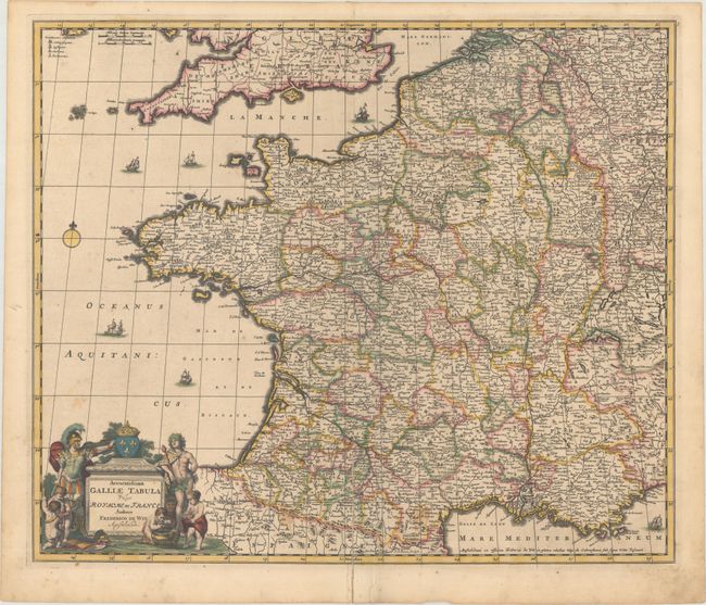
MapMaker: |
Frederick de Wit
|
|
| |
| |
Subject: |
France |
|
| |
Period/Size: |
1680 / 19.1" x 22.6" (48.6 x 57.4 cm)
|
|
| |
Color: |
Colored
|
|
| |
Condition: |
(B+) Full original color on a heavy, watermarked sheet. There is minor foxing, a few small stains, and a 4" centerfold separation at bottom that has been archivally repaired on verso. (condition help) |
|
| |
Source: |
|
|
| |
References: |
|
|
| |
|
|
| Sales Information |
| |
| |
Price: |
|
|
| |
| |
Offered by: |
Old World Auctions |
|
| |
Catalog: |
Auction No. 169 - Antique Maps, Charts, Atlases & Globes (9467) |
|
| |
Lot/Item #: |
487 |
|
| |
| |
Date: |
09/2018
|
|
| |
| |
|