| Item Detail |
| |
| |
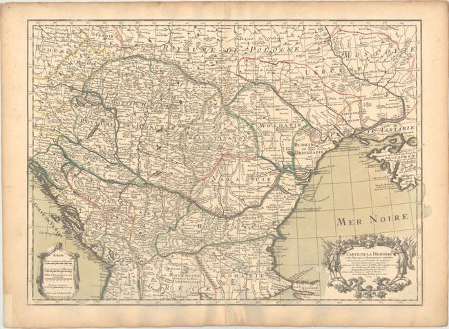
MapMaker: |
Guillaume Delisle
|
|
| |
| |
Subject: |
Southern Europe |
|
| |
Period/Size: |
1703 / 18.5" x 25.8" (47.0 x 65.6 cm)
|
|
| |
Color: |
Colored
|
|
| |
Condition: |
(A) A nice impression on watermarked paper with original wash and outline color. There is an archivally repaired centerfold separation that just enters the neatline at bottom, and light toning along the edges of the sheet. (condition help) |
|
| |
Source: |
|
|
| |
References: |
|
|
| |
|
|
| Sales Information |
| |
| |
Price: |
|
|
| |
| |
Offered by: |
Old World Auctions |
|
| |
Catalog: |
Auction No. 169 - Antique Maps, Charts, Atlases & Globes (9467) |
|
| |
Lot/Item #: |
565 |
|
| |
| |
Date: |
09/2018
|
|
| |
| |
|