| Item Detail |
| |
| |
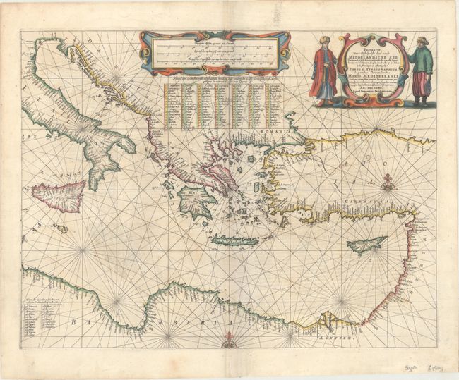
MapMaker: |
Jan Jansson
|
|
| |
| |
Subject: |
Eastern Mediterranean |
|
| |
Period/Size: |
1650 / 16.4" x 21.4" (41.7 x 54.4 cm)
|
|
| |
Color: |
Colored
|
|
| |
Condition: |
(B+) A nice impression with light scattered foxing and faint show-through from text on verso. (condition help) |
|
| |
Source: |
Atlantis Majoris Quinta Pars Orbem Maritimum seu... |
|
| |
References: |
Van der Krogt (Vol. 1) #0302:1A. |
|
| |
|
|
| Sales Information |
| |
| |
Price: |
|
|
| |
| |
Offered by: |
Old World Auctions |
|
| |
Catalog: |
Auction No. 169 - Antique Maps, Charts, Atlases & Globes (9467) |
|
| |
Lot/Item #: |
630 |
|
| |
| |
Date: |
09/2018
|
|
| |
| |
|