| Item Detail |
| |
| |
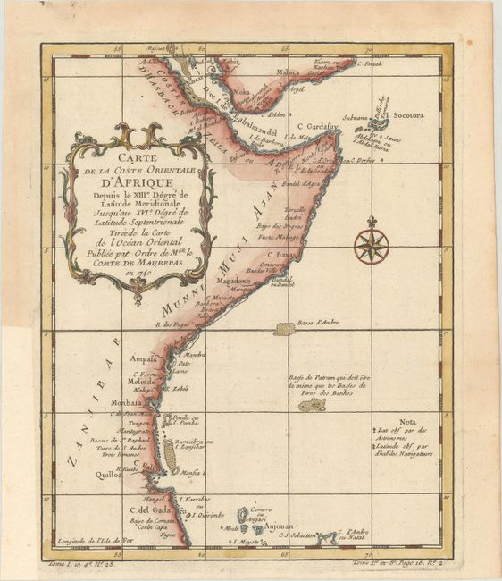
MapMaker: |
Jacques Nicolas Bellin
|
|
| |
| |
Subject: |
Eastern Africa |
|
| |
Period/Size: |
1740 / 9.7" x 7.8" (24.7 x 19.9 cm)
|
|
| |
Color: |
Colored
|
|
| |
Condition: |
(A) A crisp impression on paper with a bunch of grapes watermark, issued folding. There is light toning along the edges of the sheet, and a binding trim at left has been professionally replaced with period-correct paper. (condition help) |
|
| |
Source: |
Histoire Generale des Voyages |
|
| |
References: |
|
|
| |
|
|
| Sales Information |
| |
| |
Price: |
|
|
| |
| |
Offered by: |
Old World Auctions |
|
| |
Catalog: |
Auction No. 169 - Antique Maps, Charts, Atlases & Globes (9467) |
|
| |
Lot/Item #: |
736 |
|
| |
| |
Date: |
09/2018
|
|
| |
| |
|